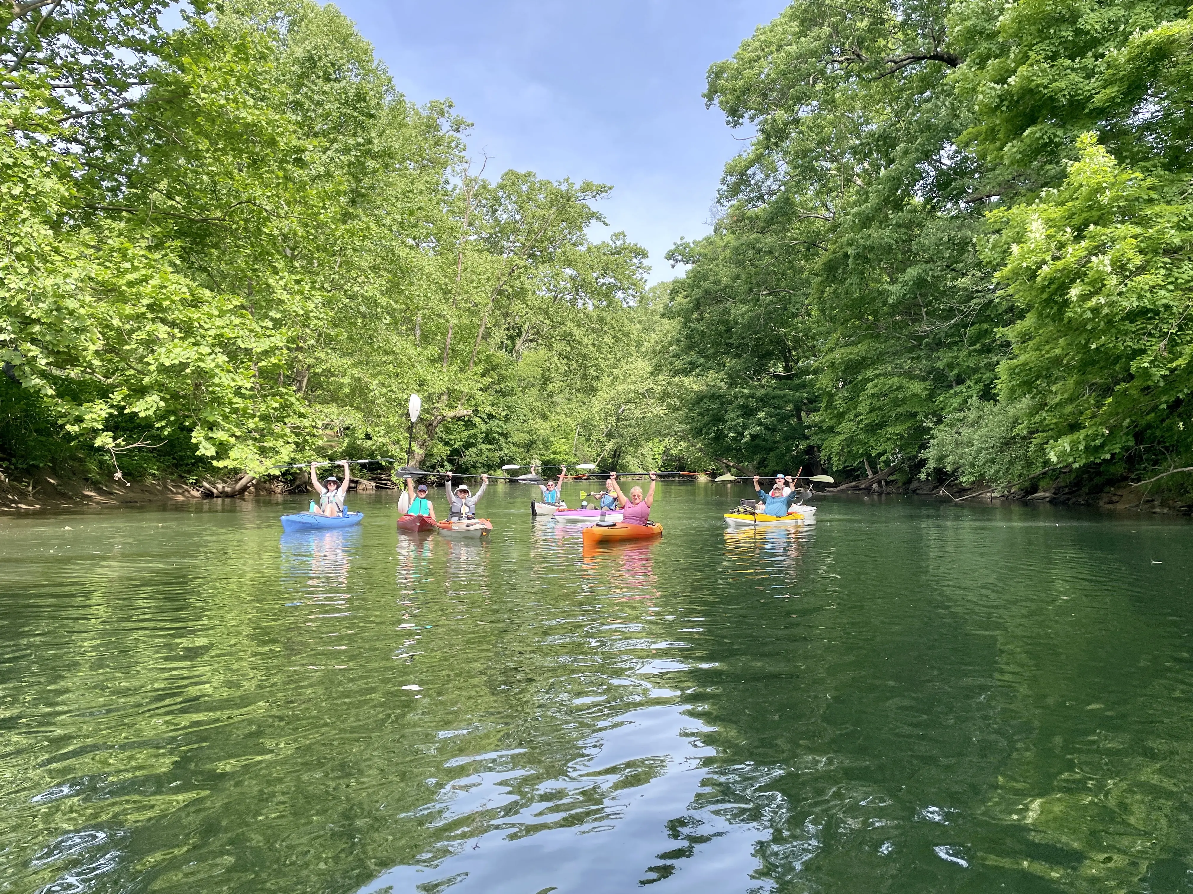
Recommended Trips
With 45 miles to explore, here are some suggested paddling trips to get you started on the BTV Water Trail. The recommended trips below showcase excellent flatwater, beginner, and family friend routes. Please note, the estimated time for each section varies greatly depending on water levels and paddler abilities/pace. We estimate a 2-3 mile per hour paddle pace, while also taking river flow characteristics into account.
Buckhannon River
Hampton to Riverwalk Park
Put In: Hampton (concrete ramp)
Take Out: Buckhannon Riverwalk Park (concrete ramp)
Length: 4.5 miles
Estimated Time: 3-4 hours
Flow: Free flowing, impoundment located 0.5 mile downstream of takeout
Gauge: Any level, even drought conditions
Class: Flatwater
Level: Beginner friendly
Shuttle: 5.7 miles / 14 min (one way)
Description: Starting under the beautiful Hampton Bridge, the river flows 4.5 miles to Buckhannon Riverwalk Park. The river is generally deep, and the current slow for the entire route. This section is known as the Buckhannon Pool, a deep slow channel formed by a low-head dam in downtown Buckhannon, approximately 5 miles away. For 2.5 miles, the river placidly flows through mature forests with some residential houses visible from the riverway. Passing under the Tallmansville Road bridge, the river continues through residential scenery as paddlers enter Buckhannon city limits. The Riverwalk Park Access Site appears on river left, 4.5 miles from Hampton. We recommend all paddlers exit the river at Riverwalk Park. There is a low head dam approximately 1⁄2 mile downstream from the Riverwalk Park boat ramp, and there is no easy portage around the dam.
North Buckhannon Park to Hall Road
Put In: North Buckhannon Park (grass carry down)
Take Out: DNR Access Site off Hall Road (concrete ramp)
Length: 9 miles
Estimated Time: 4-5 hours
Flow: Free flowing
Gauge: Recommended 300 ft3/s at Hall
Class: Flatwater
Level: Beginner friendly
Shuttle: 4.3 miles / 8 minutes (one way)
Description: From North Buckhannon Park, the river flows lazily through many meanders alternating shallow runs with deep slow pools. The riverway is mostly isolated with very few houses or other buildings visible from the water. This section offers excellent scenic and wildlife viewing opportunities as paddlers leave the city of Buckhannon. The river passes under the U.S. Route 33 bridge and under the Post Mill Road bridge. Pringle Tree Park appears on river left after 3.75 miles from North Buckhannon Park. Downstream, the river passes under Post Mill Road for a second time, along with two other small railroad bridges. The River Road Public Access site appears on river right 5 miles from North Buckhannon Park or 1.25 miles after Pringle Tree Park. Downstream, the river continues through long, deep pools interspersed with very short shallow runs. In this section, the river regains its natural flow characteristics as large in-stream boulders become visible.
Tygart Valley River
Philippi Covered Bridge to Arden Grade Road
Put In: Philippi Covered Bridge
Take Out: Arden Grade Road
Length: 3.8 miles
Estimated Time: 2-3 hours
Flow: Free flowing
Gauge: Recommended 300 ft3/s at Hall
Class: Flatwater and Class I
Level: Beginner friendly
Shuttle: 3.9 miles / 10 minutes (one way)
Description: This beautiful trip begins beneath the historic Philippi Covered Bridge, as the Tygart Valley River flows through the city of Philippi. The river continues through an especially scenic section, with the riverway lined with large mature trees. The river is mostly slow and placid, alternating both deep and shallow sections with short segments of riffles. The river passes under an active railroad bridge 2.3 miles from the put-in, and approximately a quarter mile downstream, remnants of a historic railroad trestle are present. Here, 2.7 miles into the section, the river becomes constricted; a single Class I rapid exists. The best passage is usually on river left or center through the two river trestles. The takeout is a small concrete ramp along Arden Grade Road on river right, 3.6 miles downstream of Philippi.